Jacks Peak
Jacks Peak is a short thirty minute drive from Monterey and offers several, one mile loop trails, that get you into the natural world .
This collection of trails above the Monterey Peninsula, offer wonderful views of Monterey Bay from Moss Landing at the northern end of the bay, to Point Lobos toward the south, and surprisingly, this jewel of a park is only a short drive away.
It's quiet here even romantic, and it's my guess that you might enjoy the change of pace that this special state park allows ... if only for awhile.

Tantalizing Views One Thousand Feet Above Monterey Bay
If hiking combined with stunning views of the Pacific Ocean is your idea of a great break from the maddening crowds this may be a nice getaway. The hikes here are short, perfect for you and your companion, and offer wonderful views of Monterey Bay.
Jacks Peak is especially attractive if your limited on time, and don't have the opportunity to drive to Big Sur or Point Lobos State Reserve for your hiking adventure.
The trails are usually uncrowded especially if you plan your trip on a week day.
Most of the trails in the park are easy to climb, are not very long ... usually under two miles round trip.
You could hike a little, get you hiking bug satisfied, and then either take another short hike, or return to civilization and resume your citified adventures.
The skyline loop trail offers the best views. There is easy parking, and a BBQ and restroom at he top of the hill. If your planning a little picnic with a bottle of Monterey Reisling and a sandwich made from the Carmel Village Deli, this would be a good place. It's a fairly simple hike and you are rewarded with good company, good food, and views of Monteerey Bay to remember.
My recommendation if you only have time for one short hike, would be to hike the forested Skyline Trail.
A short twenty minute, one mile loop gets you quickly back into nature and when you finally arrive after a moderate uphill climb, you will be rewarded with expansive views. Gorgeous views of the Santa Lucia Mountain Range in the Carmel Valley and all of Monterey Peninsula's most popular destinations can easily be seen.
The trail begins at the Jacks Peak parking area after you enter the park. Take the marked trail up towards the one thousand thirty eight foot summit where a grassy area marks the spot where the distant views begin.
Once you have taken in all the scenery, your decent on the loop trail is just as brief, but takes you past the T-Junction for the Iris and Rhus trails. If you have lots of time, have a map from the rangers station, and want to explore more of this state park, these will take you to more of the Monterey Pine forested sections of the park.

More Hiking Trails To Explore And Maybe Even A Picnic
You might consider adding the two mile Coffeeberry Trail marker that you probably noticed on your right as you hiked up to the summit. It spurs off the Skyline Trail to desends into the canyon via the Lower Ridge Trail.
This complete trail with several legs, is about two miles long, and takes about an hour and returns you to the Jacks Peak parking area via the Pine Trail that parallels the park road.
There are more trails in the park to explore, so be sure to get a map at the entrance gate from a ranger and ask to be sure all trails are open since all trails are sometimes not well marked.
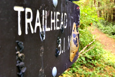
Jacks Peak ... Not Far Away And Easy To Get To
The short drive from Monterey begins as you take Highway sixty eight off Highway one east toward Salinas.
Drive about a mile and a half, and turn right on Olmstead Road to the Park's entrance. Pay the five dollar fee, and get a copy of the park's trail maps. Take the park road to the right and drive the short distance to the Jacks Peak parking lot where your first hike begins to the summit.

